
 MONA OS 2.0
 Partner with MONA


 Tự động hoá doanh nghiệp
 Cẩm nang SEO
 Digital Marketing
 Kinh nghiệm thiết kế website
 Hạ Tầng Server
 Giáo dục


 VI
 EN












Message us on
Zalo Official


 ProductsNew

 ProductsProducts
 Mới ra mắtKHA AI 2027App tự edit video, tự đăng mọi mạng xã hội, 2 phút mỗi ngày










 Website designLooks good and wins customers over.
SEO servicesBrings in customers searching for exactly what you sell.
 Tư vấn digital marketingKéo khách từ nhiều kênh, đo bằng số thật.
Corporate video productionVideos introducing your company, factory and team.
 NewAI video productionCompany story films made with AI.
 Custom software developmentCRM, ERP and HRM built for your business.
 Viết AI Agent theo yêu cầuĐặt riêng một trợ lý AI cho đúng việc của mình.
 Tư vấn chuyển đổi AIĐưa AI vào vận hành của cả công ty.
NewMONA LMSManagement for centers and schools.
MONA SkillHubInternal training for company staff.
 NHTQ systemEnd-to-end China–Vietnam shipping operations.
MONA JMSManagement for gold, diamond and pawn shops.
 MONA E-LearningA website with every feature you need to sell courses.
 How to sell online courses (course)More than 30 free lessons on selling courses on autopilot.
 MONA Cloudmonacloud.vnServers to get your apps and websites running.
 MONA Basemonabase.vnPostgres database, sign-in and file storage.
 MONA Mailmonamail.vnSend OTP, order and invoice emails from your software.
 MONA Paymonapay.vnAccept bank transfers via VietQR and notify your software when the money arrives.
 MONA eInvoiceComing soonIssue e-invoices that meet tax standards.
Gấu CườiTrả lời khách 24/7 trên web, Fanpage, Zalo và thu lead cho sale.
 Gấu TeleSalesGọi điện tư vấn, chăm khách như tổng đài viên thật.
Dê CườiTư vấn và chốt đơn cho shop ngay trong khung chat.
Gấu WebmasterNhắn nhóm Zalo là website được sửa xong.
 Gấu Pháp ChếSoạn hợp đồng, rà điều khoản trong vài phút.
 Gấu Báo GiáLên báo giá đúng mẫu và gửi khách ngay.
 AI chăm sóc khách hàngTheo dõi và giữ chân khách hàng cũ.
 Gấu Tuyển DụngLọc hồ sơ, hẹn lịch, phỏng vấn ứng viên.
 Mới ra mắt
KHA AI 2027
Xây kênh chuyên gia 2 phút mỗi ngày
Quay bằng điện thoại, AI tự edit video, tự đăng lên 16 nền tảng và tự trả lời bình luận, tin nhắn.
853.366lượt xem trên kênh CEO MONA sau 29 ngày
 Anh Khánh HùngCEO MONA đang dùng mỗi ngày
Xem app làm được gì
 AI
Gấu Cười MONA ĐANG TỰ XÀITrả lời khách 24/7 trên website, Zalo OA, Messenger và thu lead về cho sale.
Dê CườiChốt đơn bán lẻ và sàn: Shopee, TikTok Shop, web. Chăm cả khách sỉ, đại lý.
Gấu WebmasterCập nhật nội dung, tối ưu SEO website mỗi ngày.
Gấu TeleSalesGọi điện tư vấn, chăm khách như tổng đài viên thật.
Gấu Tuyển DụngLọc hồ sơ, hẹn lịch, phỏng vấn ứng viên tự động.
AI chăm sóc khách hàngGiữ khách cũ, cứu lead đã rớt cho phòng kinh doanh.
Gấu Pháp ChếSoạn hợp đồng, rà điều khoản trong vài phút.
Gấu Báo GiáLên báo giá đúng mẫu, gửi khách ngay khi có yêu cầu.
 Chuyển đổi AI toàn phầnGiải pháp tổng cho doanh nghiệp, 3 lớp triển khai.
 Viết AI Agent theo yêu cầuĐặt riêng một con AI gánh đúng nghiệp vụ của bạn.
 Custom softwareCRM, ERP and HRM with built-in AI automation.
 SEO & AEO thời đại AIĐược Google lẫn AI trích dẫn, không chỉ xếp hạng.
 Kiến thức AI cho doanh nghiệpBài phân tích, hướng dẫn ứng dụng AI vào vận hành.
 Free AI courses
 AI tools at work
App mới · KHA AI 2027
Xây kênh 2 phút mỗi ngày
AI tự edit video, tự đăng mọi mạng xã hội
Free consultation, 8am–10pm every day

18 March, 2023
Known as a miniature globe, Google Earth is software that lets you explore geography and attractive travel destinations around the world. So what is Google Earth? In the article below, MONA Media will give you an overview of Google Earth. Let's find out together.
Google Earth is often described as a map of the world on steroids. You can zoom in and glide across satellite images stitched together from around the world. It is also used to get driving directions, find nearby restaurants, measure distances between places, do serious research or take virtual vacations. You can even use Google Earth Pro to print high-resolution images and make movies.
You may not know that many Google Earth features already exist in Google Maps, and that is no accident. Google Maps has integrated Google Earth features for years, and Google Earth may eventually disappear as a separate product.
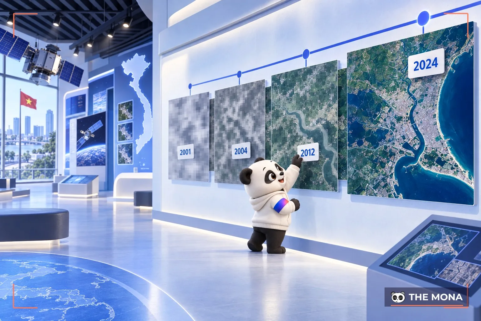
Google Earth was originally called Keyhole Earth Viewer. Founded in 2001, Keyhole, Inc. was acquired by Google in 2004. Founders Brian McClendon and John Hanke stayed with Google until 2015. After that, McClendon left for Uber and Hanke went on to lead Niantic Labs, a company spun out of Google in 2015. Niantic Labs is the company behind the mobile app Pokemon Go.

Google Earth can be downloaded as desktop software for both Mac and Windows. It can also run on the web with a compatible browser plug-in. Google Earth is also available as separate mobile apps for Android and iOS.
Google Earth comes in two versions: Google Earth and Google Earth Pro. Google Earth Pro offers advanced features, such as high-resolution printing and vector import for mapping GIS data. It used to be a premium service you had to pay for, but it is now free.
The Google Earth interface looks like the world seen from space. Click and drag the planet to rotate the Earth gently. Use the scroll wheel in the middle, or right-click and drag, to zoom in and out for a closer look. In some areas, the close-ups are detailed enough to show cars or even people.
In addition, if you move the cursor over the top right corner of the globe, the small compass turns into a larger navigation control. Click and drag the ring to rotate the map, and north on the compass moves accordingly. Click the arrows to move left or right, or use the star in the middle like a joystick to move in any direction. Turning the dial on the right controls the zoom level.
In this view, you can tilt the globe to get a perspective view or move the horizon up or down. This lets you see things up close as if you were above them, instead of looking straight down. It also shows 3D buildings, which is very handy when the Terrain layer is turned on.
Google Earth provides a lot of information about the same location, and viewing it all at once can be confusing. To fix this, information is stored in layers that you can turn on or off. These layers include roads, parks, borders and labels, gas, food and lodging.
The layers panel is at the bottom left of Google Earth. To turn a layer on, just click the checkbox next to its name. Click again to turn it off.
Some layers are grouped into folders. Turn on the items in a group by clicking the checkbox next to the folder. To expand a folder, click the triangle next to it. You can also use the expanded view to select and deselect individual layers.
Two useful layers make the globe look more three-dimensional. As mentioned earlier, Terrain simulates elevation, and you can use the tilt view to see mountains and other terrain features in 3D. It also lets you zoom in on cities such as San Francisco and fly between the buildings. Buildings are only available in a limited number of cities. They appear only as gray shapes and are not obscured.
Google Earth images come from satellites and are stitched together into larger pictures. The images themselves vary in quality. Big cities are usually sharper and more detailed than remote areas. You often see dark and light patches marking where different satellite images meet, and some of the images are several years old.
The stitching technique sometimes leaves accuracy problems. Road overlays and other bookmarks often look as if they have been shifted. In practice, stitching images together can make positions slightly off.

Google Earth Timelapse combines more than 24 million satellite images, 2 petabytes of data and 2 million hours of CPU processing time to create an interactive 4.4-terapixel view, showing how the Earth has changed from 1984 to 2020.
Google Earth has offered a time-lapse option before. But this new feature is a bigger upgrade, with full 3D coverage across the whole globe. In practice, users can pick any place on Earth, change the camera angle and choose the year they want to see.
With this feature, Google wants to give people a tool to see how humans have changed the Earth and how natural events have affected the planet. It helps explain things like shrinking rainforests or fast-melting ice. However, seeing it on Google Earth is not as dramatic as seeing it in real life.
The Google Earth Timelapse feature was approved by NASA. Together with the USGS Landsat program and the European Union's Copernicus initiatives, Google will update imagery of the world every 2.5 days.
In earlier versions of Google Earth, buildings could be viewed in 3D as long as you ticked “3D Buildings” in the Layers section of the app.
But in the latest release of Google Earth, you can view the entire world in 3D. A 2D/3D button appears in the bottom right corner of the screen, and you can click it to switch quickly and easily to a 3D view of your destination.
Another Google Earth feature lets you enjoy beautiful nature even more than documentaries do. Try “Epic Hunts Caught on Camera.” Through a partnership with BBC Earth, Google Earth offers a series of short video clips narrated by David Attenborough, played from YouTube along the right side of the regular Earth view.
In the new “Voyage” tab in Google Earth, you can take a virtual tour of islands such as the Galapagos, Samburu National Reserve in Kenya and many other UNESCO World Heritage sites. You can also visit places of cultural significance, such as where Hemingway wrote his masterpieces, or see the architecture of Zaha Hadid and other structures called “homes.”
Did you know about a large city surrounded by huge earthen pyramids, with a wooden “Stonehenge” used to watch the movement of the stars? This structure was built by the Mississippian people before Europeans arrived in North America. The new Google Earth highlights it. Visit Google Earth → Voyage → History → Lost Civilizations from Above to find them.
The “I’m feeling lucky” button has been moved by Google from the search engine to the new Google Earth. It is also a great way to keep yourself busy at work, or to plan a spontaneous trip for your next journey.
This article has given you a general overview of the concept of what is Google Earth and its interesting features. If you are curious, try Google Earth for a “virtual” trip anywhere on Earth. It also gives useful information about nature and culture, along with other appealing features. Thank you for reading, and we hope you have a great experience with Google Earth. If you need Google Earth for your business or research, save this article for reference.
Besides Google Earth, which helps individuals and businesses a great deal, see also:
In particular, a Google My Business registration service helps businesses build their name on Google. See:
GOOGLE BUSINESS PROFILE: SET UP YOUR BUSINESS LISTING ON GOOGLE
Or contact HOTLINE 1900 636 648 for 24/7 support from MONA Media

CEO & Founder · The MONA
Founder of The MONA, who built a services company of 200+ staff with 14,000+ projects delivered. Khánh Hùng shares how he thinks about building systems that run themselves, automating a business, and the real lessons from delivering projects at MONA.
 1,5K




Professional website
design services
Own a website with a beautiful, 100% exclusive design and a lifetime warranty, with the ability
to expand features flexibly as your business grows, starting today!



NHẬN TƯ VẤN SEO MIỄN PHÍ !






 MONA will never sell your information or send you spam


 MONA will never sell your information or send you spam
